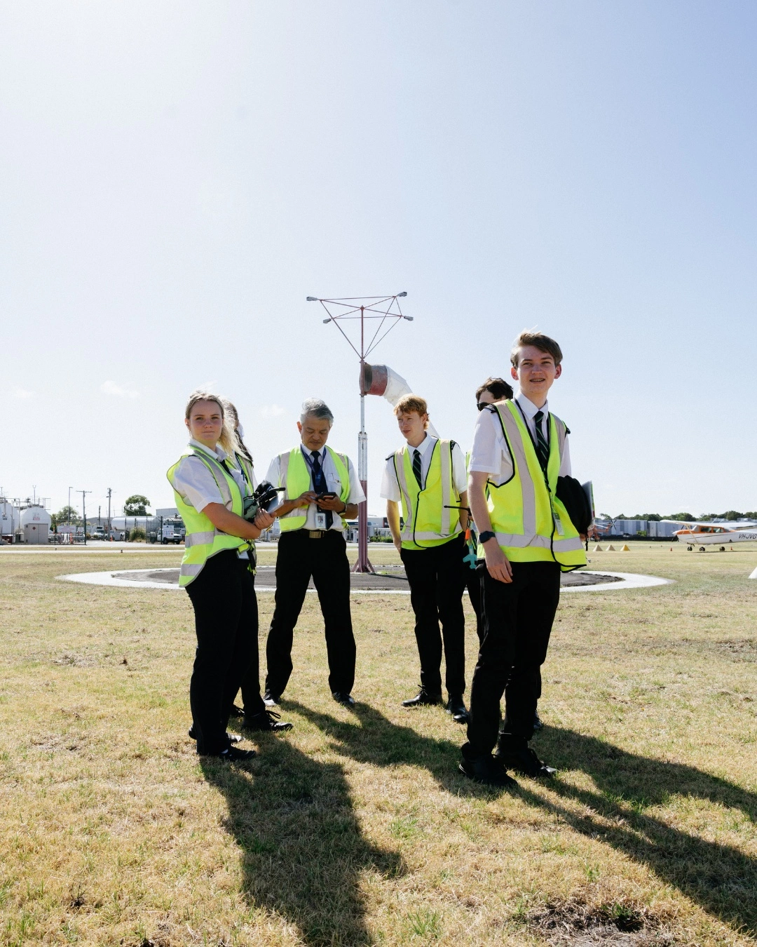
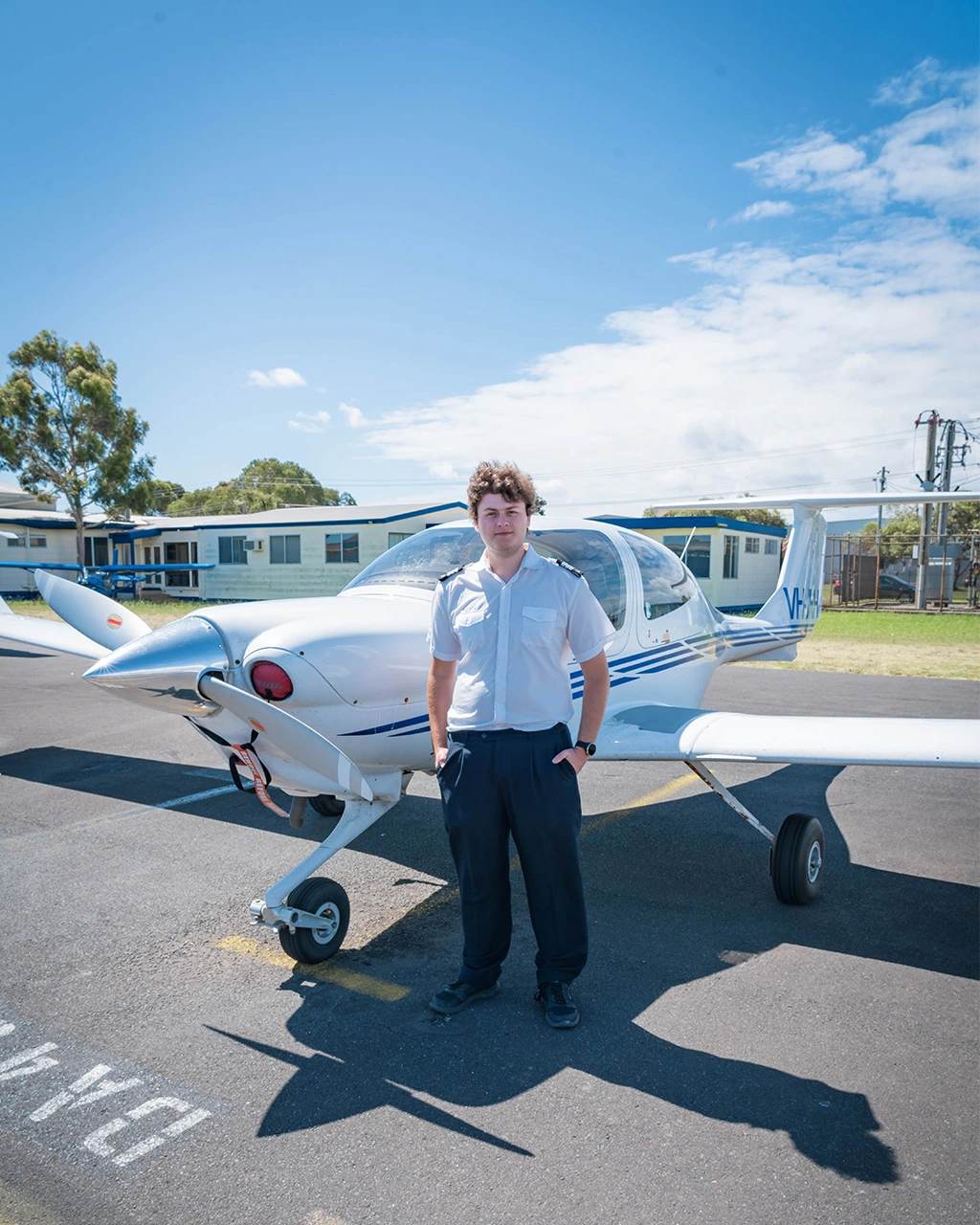
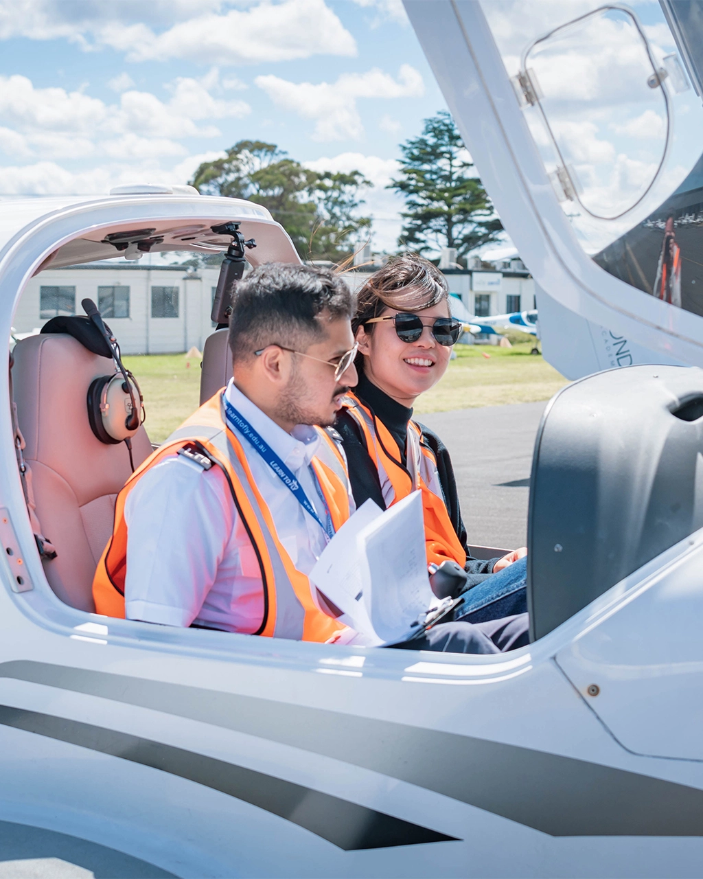
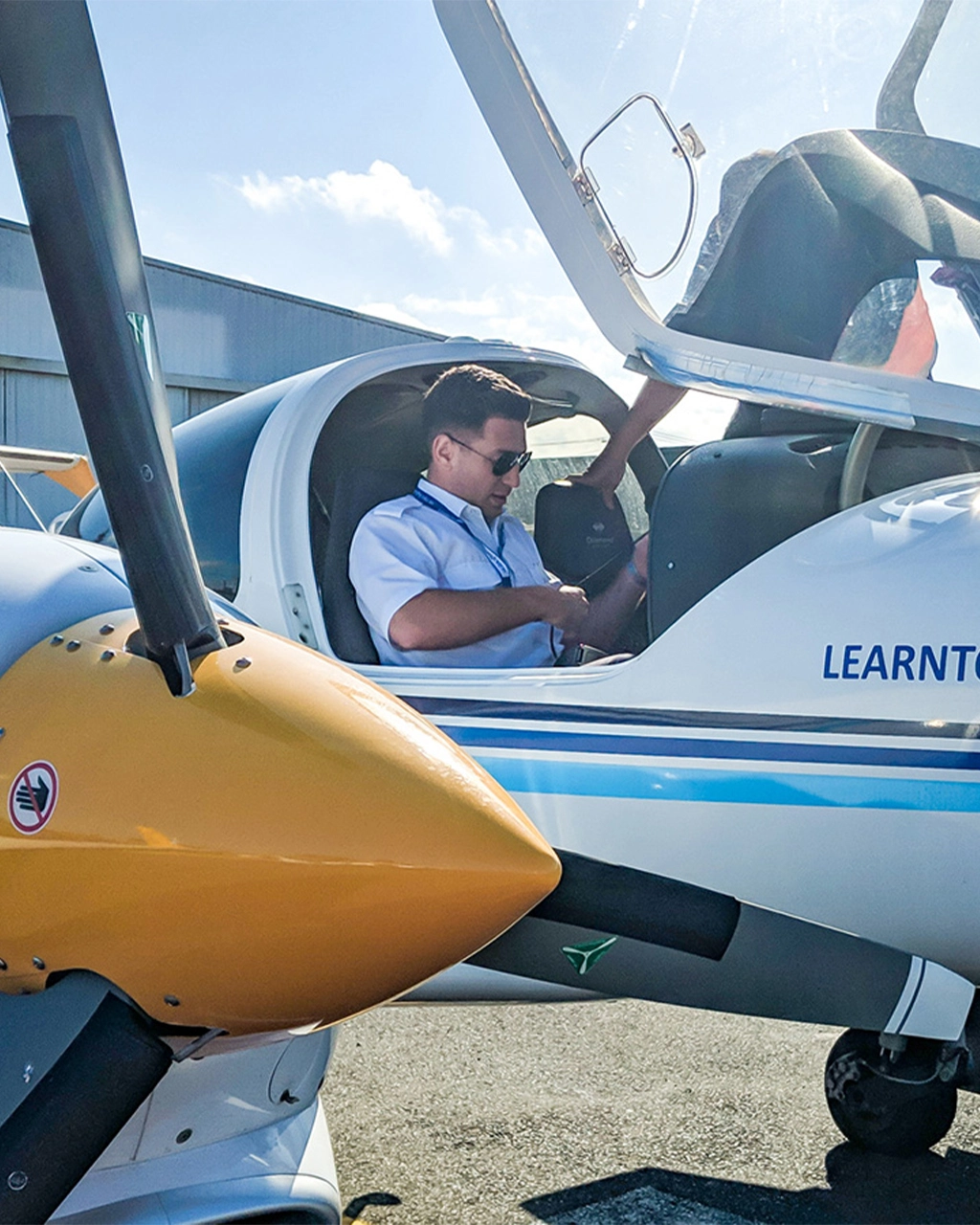
As a private pilot, staying sharp and maintaining proficiency is important for ensuring safe and successful flights.
Regular flight reviews, instrument proficiency checks, and ongoing training opportunities are essential components of a comprehensive approach to proficiency maintenance.
Regular flight reviews and recurrency training
Regular flight reviews, also known as biennial flight reviews (BFRs) are a mandatory requirement for private pilots to maintain their flying privileges. These reviews typically involve a flight instructor assessing the pilot’s knowledge, skills, and proficiency in accordance with regulatory standards. Recurrency training sessions focus on areas of weakness identified during the review, providing an opportunity for pilots to refresh their knowledge and skills.
Instrument proficiency checks
Instrument proficiency checks (IPCs) are essential for private pilots who wish to exercise instrument flying privileges. These checks assess a pilot’s ability to safely operate an aircraft solely by reference to instruments, without visual reference to the ground. IPCs typically include tasks such as flying specific instrument procedures, holding patterns, and recovering from unusual attitudes, ensuring that pilots remain proficient in instrument flying techniques.
Continuing education and advanced training opportunities
Continuing education and advanced training opportunities offer private pilots the chance to expand their knowledge and skills beyond the basic requirements of a private pilot license. Advanced training programs cover topics such as advanced navigation techniques, high-altitude flying, and advanced aircraft systems. These programs allow pilots to enhance their capabilities and confidence in challenging flying environments.
Participating in flight simulators and flight training devices
Flight simulators and flight training devices (FTDs) provide private pilots safe and cost-effective environment to practice flying skills and scenarios. These devices simulate various flight conditions, aircraft types, and emergency situations, allowing pilots to gain valuable experience without the risks associated with actual flight. Pilots can use simulators and FTDs to practice instrument procedures, emergency procedures, and complex manoeuvres.
Engaging in proficiency exercises and scenario-based training
Proficiency exercises and scenario-based training sessions challenge private pilots to apply their knowledge and skills in realistic flight scenarios. These exercises simulate real-world situations such as engine failures, adverse weather conditions, and airspace infringements, allowing pilots to practice decision-making and problem-solving skills under pressure. Scenario-based training enhances pilots’ ability to recognise and mitigate risks in challenging flying environments.
Joining flying clubs or pilot groups for regular flying activities
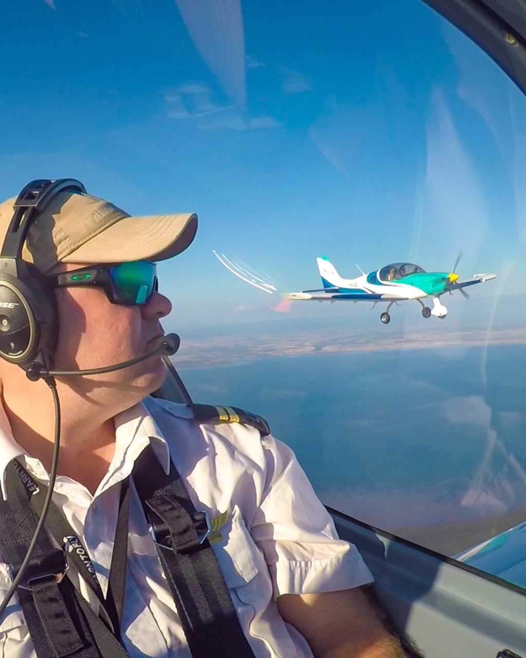
Joining flying clubs or pilot groups offers private pilots a rich array of benefits beyond just flying. These organisations provide a supportive community where aviators can connect with like-minded individuals who share a passion for aviation. Participating in group flights, fly-ins, and proficiency clinics organised by flying clubs offers pilots opportunities to hone their skills and create friendships among members.
Flying clubs often have well-maintained aircraft available for rental at discounted rates, making flying more accessible and affordable for members. Additionally, access to flight instructors within the club enables pilots to receive ongoing training and guidance to enhance their skills and proficiency.
They serve as valuable resources for information and support, offering insights into aviation regulations, safety practices, and local flying conditions. Whether discussing aviation topics over coffee or sharing stories of their latest flights, pilots in flying clubs benefit from the collective knowledge and experience of the group. Overall, joining a flying club or pilot group enriches the flying experience, providing opportunities for regular flying activities and a sense of community.
Attending safety seminars and workshops for ongoing learning
Safety seminars and workshops offer private pilots valuable insights into aviation safety practices, regulations, and emerging technologies. These events cover a wide range of topics, including airspace regulations, weather hazards, aircraft maintenance, and human factors in aviation. By attending safety seminars and workshops, pilots can stay informed about current issues and best practices in aviation safety. Flight schools and the Singapore Aviation Academy can provide pilots with extensive resources and information.
Utilising online resources and educational materials for self-study
Online resources and educational materials provide private pilots with convenient access to a wealth of information and learning resources. From online courses and webinars to aviation forums and educational websites, pilots can find a wide range of resources tailored to their specific interests and needs. Self-study allows pilots to supplement their formal training with additional knowledge and skills development at their own pace.
Maintaining proficiency as a private pilot requires a proactive approach to training, learning, and skill development. By participating in regular flight reviews, instrument proficiency checks, and ongoing training opportunities, pilots can ensure that their skills remain sharp and up-to-date. Engaging in proficiency exercises, joining flying clubs, attending safety seminars, and utilising online resources further enhance pilots’ knowledge and capabilities. With a commitment to ongoing learning and proficiency maintenance, private pilots can continue to enjoy safe and rewarding flying experiences. Whether you hold a private pilot license in Australia, Singapore, or elsewhere, proficiency maintenance is essential for all aviators.


